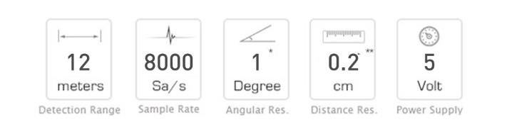
RPLIDAR A1 is a low-cost, 360-degree 2D laser scanning (LIDAR) system developed by SLAMTEC. It is capable of performing a 360-degree scan within a range of 12 meters (6 meters for the A1M8-R4 and other models). The resulting 2D point cloud data can be used for mapping, localization, and modeling of objects and environments. The RPLIDAR A1 has a maximum scanning frequency of 5.5 Hz when sampling 1450 points per round, and it can be configured up to a maximum of 10 Hz. This LIDAR system uses laser triangulation to measure distance and is suitable for use in a wide range of indoor and outdoor environments, as long as it is not exposed to direct sunlight.
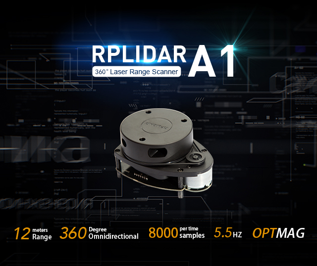
The RPLIDAR A1 uses laser triangulation to measure distance and is based on hardware developed by Slamtec that is able to acquire and process high-speed vision data. It is capable of measuring distance data more than 8000 times per second, allowing it to quickly and accurately scan its environment. This speed and precision make the RPLIDAR A1 useful for a variety of applications such as mapping, localization, and object/environment modeling.
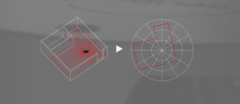
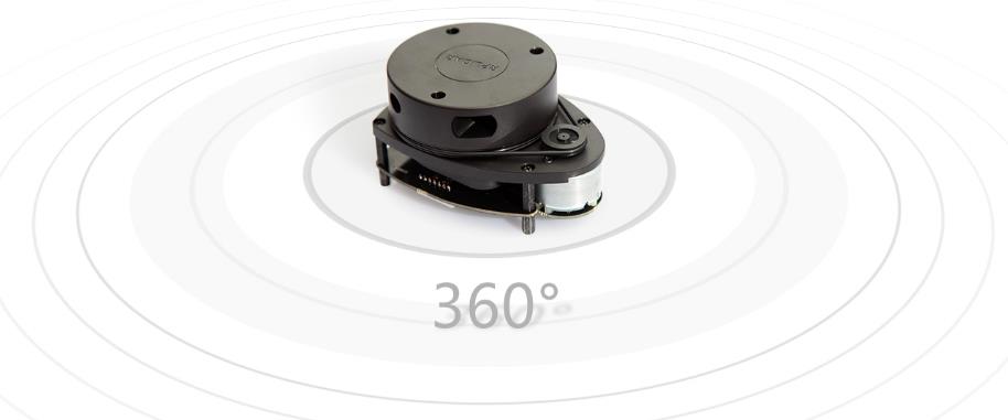
360 Degree Omnidirectional Laser Range Scanning
The core of RPLIDAR A1 runs clockwise to perform a 360-degree omnidirectional laser range scanning for its surrounding environment and then generate an outline map for the environment.
OPTMAG Original Design

Configurable Scan Rate from 2-10Hz
Users can adjust the scan rate by alternating the motor PWM signal
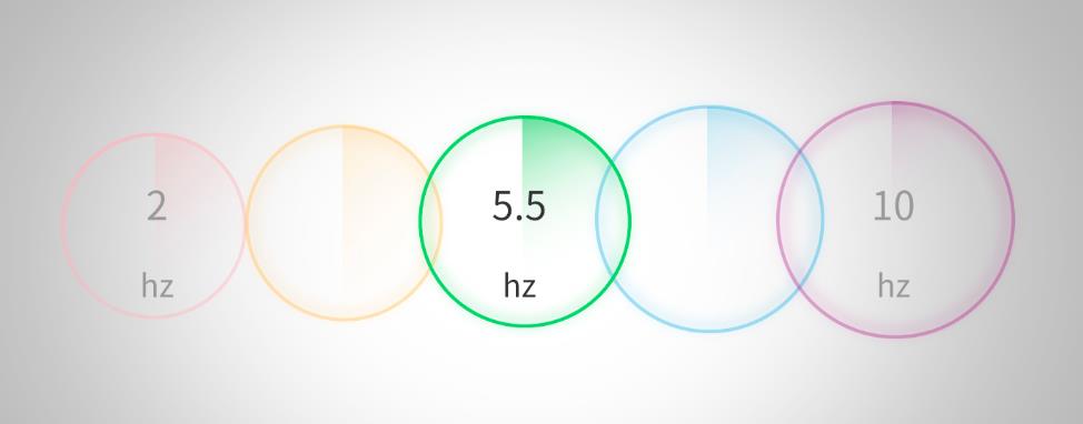
Ideal for Robot Navigation and Localization
RPLIDAR is the designed sensor for applying SLAM algorithm. With the scan rate set as 5.5Hz and the resolution is 0.2% percent of the actual distance
Plug and Play


Resources
Getting Started with LIDAR
FAQs:
Q: What is the maximum range of the RPLIDAR A1M8-R6?
A: The RPLIDAR A1M8-R6 has a maximum scanning range of 8 meters (radius), which translates to 16 meters in diameter.
Q: What is the sampling rate of the RPLIDAR A1M8-R6?
A: The RPLIDAR A1M8-R6 has a sample rate of 8000Hz, which means it can take up to 8000 distance measurements per second.
Q: What are the applications of RPLIDAR A1M8-R6?
A: The RPLIDAR A1M8-R6 is suitable for various applications, including:
- Robot navigation and localization
- Environment scanning and 3D remodeling
- Simultaneous localization and mapping (SLAM)
- Object detection and avoidance
Q: What is included in the development kit?
A: The development kit includes the RPLIDAR A1M8-R6 laser scanner, a USB adapter, a development board, a communication cable, and mounting accessories.
Q: Does the RPLIDAR A1M8-R6 work outdoors?
A: The RPLIDAR A1M8-R6 works well in indoor environments and can also function outdoors, but its performance may be affected by direct sunlight.


