How to Choose the Right LIDAR Scanner: Technical Buyer's Guide
Published by Tanuj Ahuja on 26th Aug 2025
LIDAR scanners can measure distances up to 20 kilometers with precision within a meter. These devices are substantially more advanced than traditional laser rangefinders. They go beyond basic measurements to capture three-dimensional position, speed, and other target details. This data helps create detailed point cloud maps that are the foundations of modern applications.
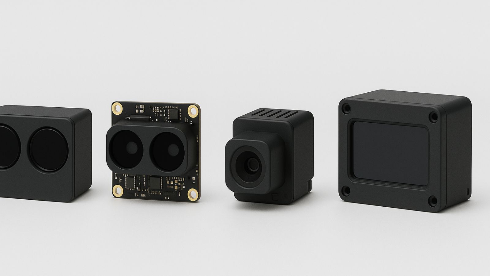
The price of LIDAR technology tells an interesting story. Basic models start at $1,200, while high-end systems can cost more than $12,000. This wide range reflects the differences in capabilities and performance. The 3D LIDAR scanner plays a crucial role in autonomous vehicles to detect obstacles and enable navigation. Many professionals opt for handheld LIDAR scanners because they work well in various field situations. These laser scanners excel in underwater measurements too - they can measure depths from 0.9 to 40 meters with 15-centimeter vertical accuracy. The technology's reach extends well beyond transportation. You'll find LIDAR at work in agriculture, archeology, forestry, and environmental monitoring.
This buyer's guide will help you understand LIDAR technology and review key specifications that determine a scanner's suitability for your needs. You'll learn about range accuracy, resolution, power usage, and integration protocols. These are the critical factors to think over before you invest in this powerful technology.
Understanding LIDAR Technology and Scanner Types
LIDAR (Light Detection and Ranging) technology works on a simple principle: it emits laser pulses at surfaces and measures the time light takes to return to its source. This remote sensing method calculates distances using the formula: Distance = (Speed of Light × Time of Flight)/2. LIDAR systems create detailed three-dimensional maps and models with amazing precision.
What is LIDAR and how it works
LIDAR is an active remote sensing system that uses its own energy source—laser light—to measure objects on the ground. The main parts include a laser scanner that sends out quick pulses (sometimes reaching 50-100 kHz per second), optical receivers that catch returning light, positioning systems for geographical reference, and computing elements for processing. These laser pulses bounce off surfaces like buildings, vegetation, or terrain, and return to the sensor where the system records the information.
Today's LIDAR systems combine exact time measurements with positioning data from Global Navigation Satellite Systems (GNSS) and orientation information from Inertial Measurement Units (IMU). These parts work together to pinpoint the exact coordinates of each measured point in three-dimensional space. The output is what experts call a "point cloud"—millions of measured points that create a detailed 3D picture of the scanned area.
Point clouds are usually stored in standard formats like .las (backed by the American Society of Photogrammetry and Remote Sensing) or the compressed .laz format. These files hold not just spatial coordinates but often extra details like intensity values that show how much light energy the sensor picked up.
Differences between 3D LIDAR scanner and handheld LIDAR scanner
The main difference between 3D stationary LIDAR scanners and handheld ones comes down to their mobility, accuracy, and how they're used. Stationary 3D scanners are great at precision and resolution because they stay in one place, which means less risk of distortion during measurement. These systems usually sit on a tripod, turntable, or mechanical arm, making them perfect for controlled spaces like labs, factories, and design studios.
Handheld LIDAR scanners are all about flexibility and portability. Their light design lets operators capture data from objects whatever their size or shape, especially in tight spaces where stationary equipment won't fit. These mobile units often have an accessible interface that makes scanning easier, even for people who aren't tech experts.
The trade-off for this mobility shows up in the results. Handheld scanners give you centimeter-level accuracy, while stationary systems can be precise down to millimeters. This happens because hand movements during scanning can create small inconsistencies in the data.
LIDAR laser scanner vs traditional rangefinders
Both technologies measure distances using light, but LIDAR laser scanners can do much more than regular rangefinders. Traditional laser rangefinders just measure the distance between two points. LIDAR systems capture detailed three-dimensional position data, speed information, and create point cloud maps for environmental awareness.
The technology inside these devices is quite different. Rangefinders use a basic emitter-receiver setup, while LIDAR packs more advanced parts: laser transmitters, optical receivers, rotary mechanisms for directional scanning, and sophisticated processing systems. That's why LIDAR creates detailed 3D visualizations instead of single-point measurements.
The applications really show these differences. Rangefinders handle simple distance measurements, but LIDAR works in autonomous vehicle perception, robotics, logistics tracking, and detailed terrain mapping. LIDAR systems can also detect multiple returns from a single laser pulse—seeing not just the first object but also what's behind it, like ground surfaces under trees.
Key Technical Specifications to Compare
You need to look at technical specs carefully to pick the right LIDAR scanner that works best for what you want to do. This helps you make smart choices when you compare different models and their prices.
Range accuracy and resolution in LIDAR scanners
Range accuracy shows how well a LIDAR scanner's measurements match real distances—this matters a lot for precise work. Top-end terrestrial laser scanners like the Leica RTC360 can measure within 1.9 mm at 10 m distance. Most sensors give you accuracy between 0.5 to 10 mm from the sensor. But real-life vertical and horizontal accuracies in the data usually end up at 5-15 cm and 15-50 cm at one sigma confidence level. This shows how lab results and ground results can be quite different.
Resolution in LIDAR scanners covers both angular resolution and point density. Angular resolution tells you the smallest angle between two points the scanner can tell apart. The best systems can get down to 0.07° × 0.027° (horizontal × vertical) resolution. Point density varies by a lot between devices. To name just one example, a Leica RTC360 scanner packs about 54,000 points/m² - this is a big deal as it means that it beats an iPad Pro scanner's 7,000 points/m². Point spacing also shows big differences: 0.4 cm on high-end gear versus 1.2 cm on consumer devices.
Field of view and scanning frequency explained
Field of view (FOV) tells you how wide an area the LIDAR scanner can see. Self-driving cars usually need 40° to 60° horizontal FOVs, though some systems can see all 360° around them. Vertical FOV needs change based on use—cars looking forward typically need 20-30°, while close-range obstacle spotting needs up to 90°.
Scanning frequency shows how fast a LIDAR can scan its whole field of view. This affects how well it captures moving objects. Faster scans mean better point clouds, even when things are moving. Today's LIDAR sensors use multiple lasers (8 to 128 channels) and can capture up to 2.2 million points each second. Professional systems like the GeoSLAM ZEB Horizon grab 300,000 points per second. The link between scanning frequency and frame rate really matters—faster oscillation speeds (around 250 Hz) let you get frame rates above 10-20 Hz.
Wavelength and beam divergence considerations
Most LIDAR scanners use near-infrared light, usually around 903-905 nm, though wavelengths change based on what you need. The 1550 nm wavelength beats 905/940 nm systems in many ways—especially for eye safety. Safety standards let 1550 nm lasers shoot 17 times more photons than those under 1000 nm, giving you better range and resolution.
Beam divergence—how much the laser beam spreads out as it travels—affects your measurement accuracy and range. It's measured in milliradians (mrad), usually between 0.25 and 5 mrad. Less spread means better focus over distance, which gives you more accurate measurements. A beam with 0.25 mrad divergence creates a 25 cm footprint on the ground from 1000 m up. Spinning sensors with about 3 mrad divergence leave much bigger footprints, so their signal gets weaker and less precise far away.
Each spec comes with its own trade-offs that you need to match with what you're trying to do. Let's take a closer look at ways to test and compare these specs in real life next.
Materials and Methods: Evaluating LIDAR Scanner Performance
You need reliable testing methods to check how well a LIDAR scanner performs before you deploy it. These methods help you verify what manufacturers claim and determine whether a scanner meets your needs under ground conditions.
Test setup for range and accuracy measurement
Good measurement requires standardized targets that have known reflectivity values at exact distances. Professional tests use diffuse reflectance LIDAR test targets with calibrated reflectance values of 10%, 50%, and 80%. These targets simulate different lighting conditions. The testing process places these targets at measured distances from the scanner. The reported measurements are then compared against known values. A reference system like the survey-grade Riegl VZ-400i Terrestrial LIDAR Scanner provides ground truth data. This scanner has 0.02° horizontal and vertical angular sampling and delivers average point densities of 300 points/m².
Advanced tests often use child-sized targets (15 cm × 80 cm) with a Lambertian coating. The coating reflects exactly 10.18% across the 800-1600 nm spectrum. These targets are placed within a 60° field of view at specific intervals. The placement starts with 5-meter increments up to 50 meters. Then it continues with 10-meter increments to 100 meters. Finally, 20-meter increments extend to 200 meters.
Environmental testing: fog, dust, and reflectivity
LIDAR works by emitting light pulses, so environmental factors affect measurement accuracy by a lot. Dust particles block laser emissions partially and reduce point counts and intensity values. Tests show dust points' intensity values range between 0-10 on a 0-255 scale. These values are much lower than other objects. Fog spreads light in all directions. This makes it hard for sensors to tell the difference between actual targets and water droplets.
Temperature tests need special chambers that can create extreme conditions. Research shows high temperatures boost signal strength by about 19.8% compared to normal measurements. Low temperatures cause minimal changes in signal intensity. Reflectivity tests prove dark-colored targets like black vehicles reduce returned intensity by up to 33.2% compared to white surfaces at equal distance.
Data output formats and integration protocols
The LAS (LASer) format serves as the industry standard for LIDAR data exchange. The American Society for Photogrammetry and Remote Sensing specifies this format. A typical LAS file has a public header block, variable length records, point data records, and extended variable length records. LIDAR point data usually contains X, Y, Z coordinates, intensity values, classification fields, GPS timestamps, and sometimes RGB color information.
The LAZ format provides lossless compression of LAS data while keeping all detailed information. Integration protocols need precise time synchronization between devices. This happens through PPS (Pulse Per Second) signals or Precise Time Protocol with accuracy up to 1 microsecond. Post-processing requires specialized software to apply correction factors. These factors account for systematic errors in reflectance values and distances.
Results and Discussion: Scanner Performance Insights
Standard testing shows clear performance gaps between leading LIDAR scanner models. Each model brings unique benefits to specific tasks. The Leica BLK2GO captures an impressive 420,000 points per second and scans with great detail while moving. The FJD Trion S1 pushes this to 640,000 points per second with a 120-meter range, making it great for bigger locations.
Performance comparison of top 3D LIDAR scanner models
High-end terrestrial scanners still lead the pack for precision work. The FARO Focus Premium records 2 million points per second, which puts it ahead of most other options for speed-critical jobs. The ZEB Horizon, a specialized handheld unit, captures 300,000 points per second. This unit strikes a sweet spot between mobility and data quality that works for most field tasks.
Point cloud density varies between devices. Professional equipment creates much richer datasets. Tests show that smart scan paths can achieve densities over 11,000 points/m². This level of detail helps extract features from even the most complex spaces. Smaller scanning areas and steady pacing improve results, which matters a lot in Building Information Modeling.
Handheld LIDAR scanner use in indoor vs outdoor settings
Environmental factors affect how handheld scanners work indoors versus outdoors because of SLAM technology differences. Indoor spaces give better results with errors under 1 mm in static scans. Outdoor scans need more attention to distance. Users should keep a 1–1.5 meter gap between scanner and target to balance coverage and accuracy.
The BLK2GO uses advanced GrandSLAM technology that combines LiDAR SLAM, visual SLAM, and an IMU. This mix helps it track its position while scanning on the move. The multi-sensor approach works reliably both inside and outside. iPad Pro LIDAR tests show it works best indoors, as its accuracy drops outside during movement.
Field tests prove handheld 3D scanners adapt well to many settings - from construction zones to dig sites. Operators just need to know their limits. These tools scan buildings quickly compared to old methods, which makes them perfect for urgent documentation needs.
Limitations and Constraints in LIDAR Scanner Selection
LIDAR technology has impressive capabilities, but you need to think about its practical limits before buying. You'll avoid disappointment and pick the right equipment by knowing these constraints.
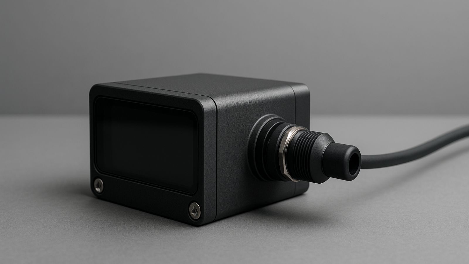
Power consumption and battery life in portable units
Portable LIDAR scanners just need a lot of power to work. Standard units use consistent power whatever the scanning conditions, and they typically use up to 7.5 watts during normal operation. This high energy use affects how well you can use them in the field, especially in remote places where charging isn't easy.
Different models have very different battery life, which changes what you can do with them. The BLK2GO runs for about 45 minutes of non-stop scanning, while other handheld units last around 2 hours at room temperature. Some advanced scanners come with hot-swappable batteries that let you scan for 8 hours without stopping. These work great for long field operations.
Limitations in scanning reflective or transparent surfaces
LIDAR scanners, even with all their advanced features, have trouble with transparent and reflective materials. Glass surfaces are tough because they mostly show specular reflection and let light pass through, with little diffuse reflection of laser light. Most scanning systems expect surfaces to have diffuse reflection properties.
These material properties cause several scanning problems. Windows and other see-through objects let laser beams pass right through without enough return signals. This leaves holes in point clouds. Reflective surfaces create "virtual points" through mirror-like reflections that add fake data points and make map quality worse. These wrong reflections can make navigation dangerous for autonomous systems and mess up 3D models.
Wet surfaces create more problems by increasing intensity reading variations and potentially cutting down maximum scanning range. Surface moisture changes how materials reflect light, which makes measurements less reliable without special correction methods.
You can reduce these problems in several ways. Some people use surface treatments like matte sprays or coatings, but these might not work in sensitive areas or operational facilities. Better systems use multi-return analysis to spot glass surfaces by comparing the strongest and last returns from each laser pulse.
Conclusion
Your choice of LIDAR scanner depends on matching technical specs to your application needs. These sophisticated devices are a big deal as it means that they create detailed point cloud maps with millimeter-level precision, unlike conventional rangefinders. The selection process should focus on specs that matter most to your use case - range accuracy for precision modeling, scan frequency to capture dynamic environments, or field of view for spatial coverage.
Environmental factors make a huge difference in scanner performance. Our testing shows that fog, dust, and surface reflectivity can affect measurement accuracy. You need to test potential scanners in conditions similar to your operational environment. Handheld units give you great flexibility but trade off some precision compared to stationary models - something to keep in mind for field work.
LIDAR scanners have their limits. They struggle with transparent and reflective surfaces, which can create data gaps or phantom points that affect model quality. Power consumption is another challenge for portable units. Battery life varies between models from 45 minutes to 8 hours of continuous operation. These practical limits matter just as much as technical specs.
LIDAR technology keeps getting better. Manufacturers are improving resolution, range accuracy, and how well these devices handle different environments. Think about both your current and future needs when investing in this technology. A careful review of technical specs, testing methods, and operational limits we've covered here will help you pick a LIDAR scanner that performs well for your specific needs without getting stuck with expensive mismatches between capability and requirement.
FAQs
Q. What is LIDAR technology and how does it work?
A. LIDAR (Light Detection and Ranging) is a remote sensing technology that uses laser pulses to measure distances and create detailed 3D maps. It works by emitting laser light and measuring the time it takes for the light to return after hitting a surface, allowing for precise distance calculations and the creation of point cloud representations of environments.
Q. How do 3D LIDAR scanners differ from handheld LIDAR scanners?
A. 3D LIDAR scanners are typically stationary and offer higher precision and resolution, making them ideal for controlled environments. Handheld LIDAR scanners are more portable and flexible, allowing for scanning in confined spaces, but generally provide lower accuracy due to potential hand movements during scanning.
Q. What are the key technical specifications to consider when choosing a LIDAR scanner?
A. Important specifications include range accuracy, resolution, field of view, scanning frequency, wavelength, and beam divergence. These factors affect the scanner's ability to capture detailed and accurate data in various environments and should be evaluated based on the specific application requirements.
Q. How do environmental factors affect LIDAR scanner performance?
A. Environmental conditions such as fog, dust, and surface reflectivity can significantly impact LIDAR scanner performance. These factors can reduce point counts, alter intensity values, and affect measurement accuracy. It's crucial to test scanners under conditions similar to the intended operational environment.
Q. What are the limitations of LIDAR scanners when scanning certain surfaces?
A. LIDAR scanners struggle with transparent and reflective surfaces like glass and mirrors. These materials can cause laser beams to pass through or reflect incorrectly, resulting in incomplete point clouds or phantom data points. Additionally, wet surfaces can alter reflective properties and reduce measurement reliability.